
Forest Mapping and Inventory

User Advantages of Our Technology
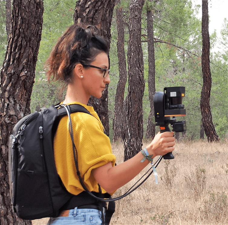
- This product leverages the advantages of low-cost photogrammetric 3D reconstruction combined with data from the LIDAR system to provide a comprehensive solution.
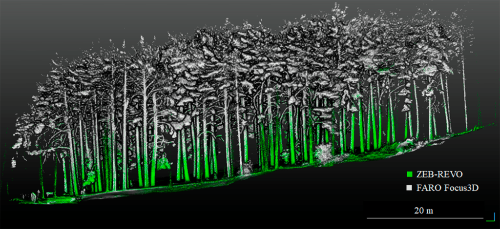
- It identifies terrain and vegetation, determining their different heights to assess potential fire risks.
- By combining the data with forest inventory information (ground truth), the obtained products can be evaluated from a statistical perspective, including measures such as position, centralization, dispersion, and more. This allows for a comprehensive analysis of the forested area, enabling better management and decision-making regarding fire prevention and overall forest conservation.